


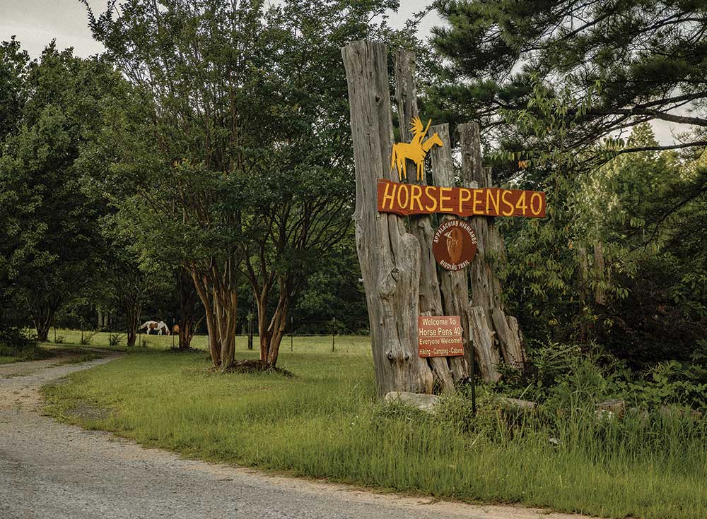
St. Clair’s place of sacred beauty
By Roxann Edsall
Photos by Mackenzine Free
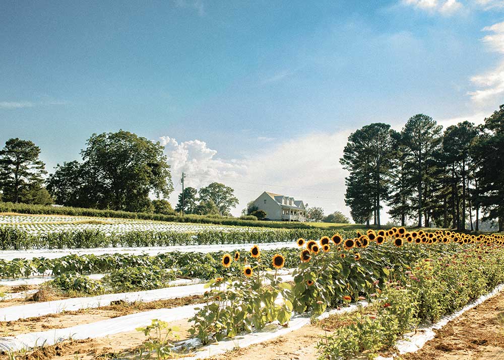
For many, the mention of Chandler Mountain brings to mind images of big, beautiful, savory tomatoes. But the roots of the mountain’s history run far deeper than those lovely fruits or even of those families that have farmed them for generations. Archaeologists are now calling the mountain a place of profound Native American cultural significance, having documented several sites on and around the mountain.
These sites, formally verified by archaeologists over the last two years, include pictographs, which are paintings on stone using the pigment, called red ochre, found in the dirt. There are at least eight documented sites containing pictographs, cairns, snake walls and other various rock formations attributed to the area’s Native American heritage. Next month, archaeologists are planning to visit an additional five areas that may also contain significant indigenous findings.
Those culturally significant Native American findings were instrumental in saving Chandler Mountain residents from the fallout from a proposed Alabama Power dam project. Alabama Power had planned to build a pumped storage hydroelectric facility that would have pumped water from Neely Henry Lake up the mountain to a reservoir and dam at the top, the intent of which was to created electricity by releasing water at peak use times to flow down the mountain to four dams below.
The building and operation of the project would have forever changed the landscape of the mountainside and residents banded together to fight. They created Save Chandler Mountain, a 501c3 non-profit, and began working to build a case to oppose the dam project. “The project was a net-negative program, meaning it would have used more energy than it created,” said Fran Summerlin, the organization’s president. “It was going to get rid of so much farmland and so many houses.”
Summerlin explained that the organization reached out to archaeologists and cultural heritage people and found common ground with the people who originally lived on the land, members of the Cherokee Tribe of Northeast Alabama. Both current residents and the Indigenous people of the area were desperate to save the land and protect its features.
Seth Penn is a member of the Cherokee Tribe of Northeast Alabama and was, at the time of the proposed dam project, the southeastern coordinator for the Indian Nations Conservation Alliance (INCA). Fighting to promote Native American culture and to protect sacred sites was his mission and that dovetailed well with Save Chandler Mountain’s mission. Penn, who has degrees in both cultural anthropology and natural resource conservation management, with minors in Cherokee studies and language, lives in north Alabama, but has ancestral ties to both Etowah and St. Clair counties.
“Chandler Mountain and that area was a place where multiple tribal territories came together,” Penn explains. “You had the Cherokee people, various branches of Muskogee, as well as Choctaws and Chickasaw too. This was a special place where various tribes would come together to trade and to talk through things and to try to work things out peacefully.”
So, their work together began by inviting noted archaeologist David Johnson to visit the mountain. Johnson, who is from Poughkeepsie, New York, had successfully documented Native American sacred and ceremonial landscapes along the lower Hudson Valley, which was instrumental in saving Split Rock Mountain, a land sacred to the Ramapo Munsee Lenape Nation. “We were having a ceremony celebrating the saving of Split Rock Mountain and Seth Penn and his mother came from northeast Alabama,” said Johnson. “I walked him around that site and showed him the stone features. He said I needed to come to Alabama.”
“I made the drive down to Huntsville and met with Seth’s tribe,” Johnson continued. “Within the first two days, we found two ceremonial landscape sites that the Cherokee Tribe of Northeast Alabama knew nothing about.” It was at the presentation he gave to the tribe about his findings that he met some visitors who came up from Chandler Mountain. “They asked me to come look and I went down for two days for a quick look. What I saw was enough that I went back and have documented eight major sites there.”
The shape of the mountain itself is unique in that, unlike typical mountains that rise to a peak, the top of Chandler Mountain is a plateau, flat at the top with a dip, or bowl in the middle. The shape is a natural occurrence, formed during the creation of the Appalachian Mountains hundreds of millions of years ago. The flat top made the mountain ideal for the ceremonial and tribal activities, according to Johnson, with plenty of room for tribes to meet, to trade, to work through disputes, and to pray.
“You don’t usually find a lot of artifacts at this type of site,” says Johnson. “You don’t find a lot of broken arrows and firepits because that’s not what they did here. This was a special place, a sacred place.” Those types of artifacts, he explains, are found in habitation sites, archaeological sites where cultures lived and slept.
“There are ceremonially significant places on the mountain, as well as in the whole region,” Penn explains. “There are places where you see the presence of that confirmed through various rock formations, art, and things along those lines that are centuries old. It affirms the long-lasting presence of Indigenous people there.” It’s a place that local Native Americans still go to pray. “We go to these sacred places where we are able to stand in present time, but lock arms with our ancestors, the ancients, to pray.”
The land is sacred, too, to those who live and farm the land today. “There are places there with history, with stories, with blood, sweat and tears that have been poured into that land,” Penn continues. “If that dam project had happened, it would have erased the history of Indigenous people from thousands of years ago, but would also have erased a lot of history from the present inhabitants of that land and their families.”
Charles Abercrombie’s family is deeply ingrained in the history of the area. For more than 75 years, he has lived on land on the side of Chandler Mountain that was once part of the homestead of Joel Chandler, for whom the mountain is named. Chandler received the land as payment for his work as a soldier in the Creek Indian War. Abercrombie still has the land grant signed by Andrew Jackson. The land has been owned by the Abercrombie family since 1894, and Abercrombie says he would fight to protect his land from any threat. “When all this started, I went to an eminent domain attorney,” Abercrombie said. “I was willing to go to the Supreme Court, if I had to.”
He did not have to go to the Supreme Court. As a result of feedback from residents and pushback from Twinkle Cavanaugh, then Alabama Public Service Commission president, the application for the Alabama Power dam project on Chandler Mountain was withdrawn and the mountain, with its beautiful landscape and rich history was saved.
“Bringing these potential cultural losses to the forefront may have contributed to the demise of the project, but important political opposition is probably what made the difference,” says Terry Henderson. Henderson, whose family has been around the mountain and Canoe Creek since around 1850, has lived on the south brow of the mountain for two years. He is married to Linda Derry, a professional historical archaeologist, and worries as much about “unrestrained and uncontrolled visitation” in the area. “These properties, structures, and vistas should be protected through legal, enforceable, verifiable development and access restraints,” says Henderson.
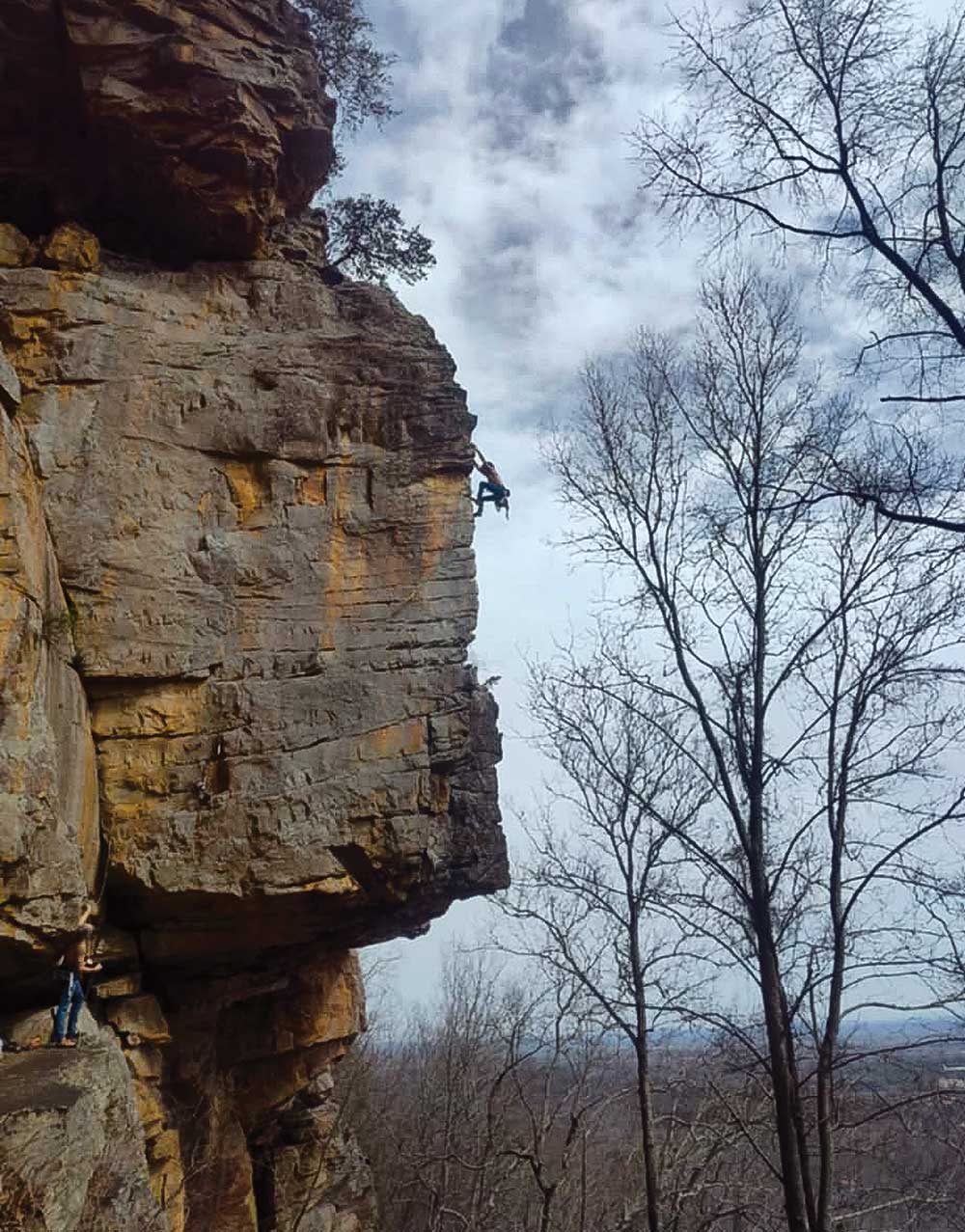
Ben Lyon agrees. He was drawn to the mountain as a rock climber 20 years ago and has lived there for the past 12 years. His property contains red ochre drawings and other findings important to Native American culture. “I believe it’s as important as anything to preserve these,” says Lyons. “It’s one of the few examples of pre-Woodlands depictions in the Coosa River Valley.”
Lyon says saving the mountain and its cultural history is important for the future of the children and for the families who make their living on the land. “There’s a way of life on Chandler Mountain that would have been lost, and about a third of the mountain would have been lost,” said Lyon.
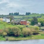
Chandler Mountain is a place of tranquil beauty, a place where families live off the land and spend time in the outdoors. It’s a land of history, of promise, and carries with it the burden of conserving it for future generations. Conservationist Aldo Leopold stressed the importance of that responsibility when he wrote, “The oldest task in human history is to live on a piece of land without spoiling it.” Together, the mountain’s current residents and those representing their Indigenous predecessors have made sure this sacred mountain will not be spoiled.